
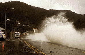
The Metservice is forecasting that Cyclone Pam will hit the top of the North Island hard.
Preparation is called for and although initially a direct hit seemed less likely, the chances may actually be increasing.
Get prepared
Here are a few pointers (from Mercury Energy):
• if there's a weather warning in place charge your phone while you can (and anything else you may need)
• grab a few torches (or candles for mood lighting)
• dig out a thermos or two for keeping boiled water hot
• make sure you can easily access a gas cooker or BBQ for cooking
• plug-in an old-school corded phone as these do not need mains power to work
If the power or hot water goes out:
• contact the appropriate faults line - get the number handy now before the storm arrives
• prepare for power surges. Unplug any sensitive appliances or devices; or use a power surge protector
• check on neighbours to ensure they are safe and comfortable (let’s stick together!)
• if you have people in your home (or neighbourhood) who rely on electricity for medical purposes, please ensure they are safe. If necessary, please contact your healthcare provider or call 111 in an emergency
DAY -5
Here is Metervice's expected situation for Monday, March 16, 2015 as published on March 11, five days out.
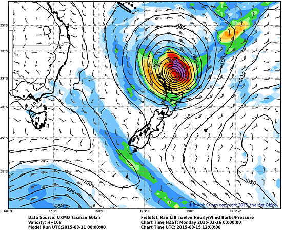
DAY -4
Here is the forecast four days out for Monday, March 16, 2015.
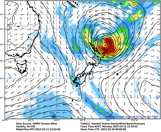
And now later in day -4 the forecasters are starting to hedge their projections, pushing it out further east.
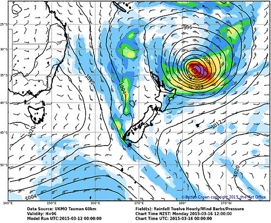
DAY -3
Here is the forecast three days out for Monday, March 16, 2015, as published on Friday, March 13, 2015.
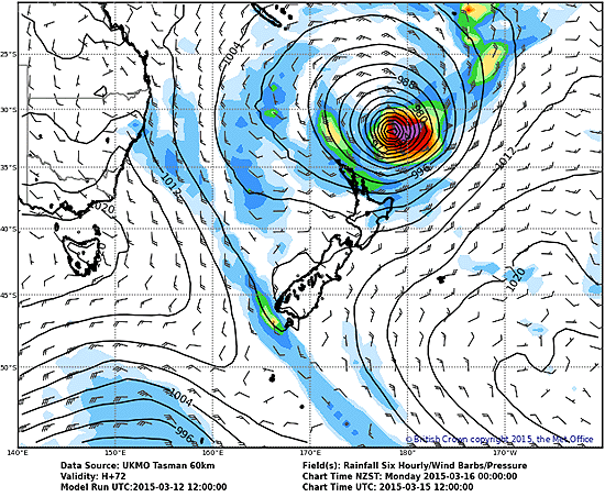
Here is the next update for day -3.
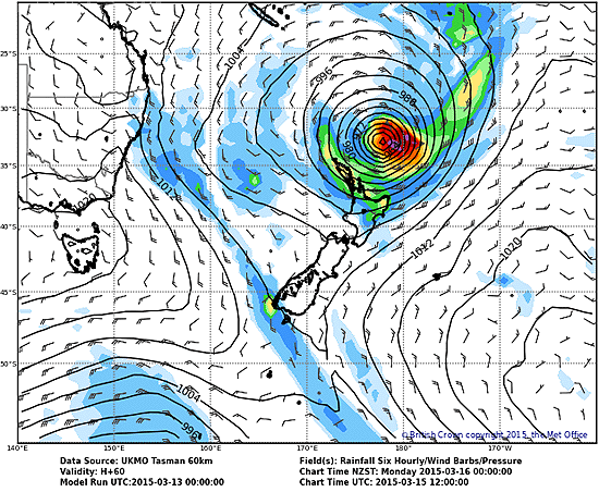
DAY -2
Here is the forecast two days out from Monday, March 16, 2015, as published on Saturday, March 14, 2015.
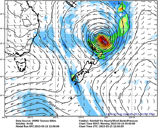
and here is today's second update.
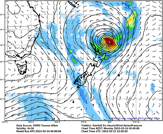
DAY -1
Here is the forecast for tomorrow as published on Sunday, March 15, 2015.
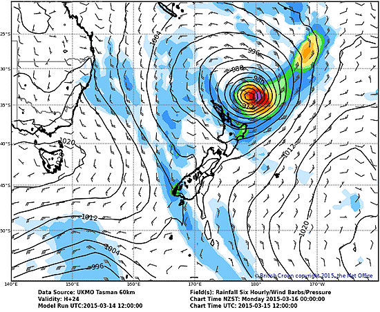
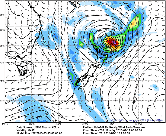
In the end, it has turned out to be a much smaller tropical storm than first warned about having weakened a lot since it wrecked havoc in the south Pacific island nations. However the forecasters have been remarkably accurate in predicting its track.
We welcome your comments below. If you are not already registered, please register to comment
Remember we welcome robust, respectful and insightful debate. We don't welcome abusive or defamatory comments and will de-register those repeatedly making such comments. Our current comment policy is here.